
Capabilities and Services

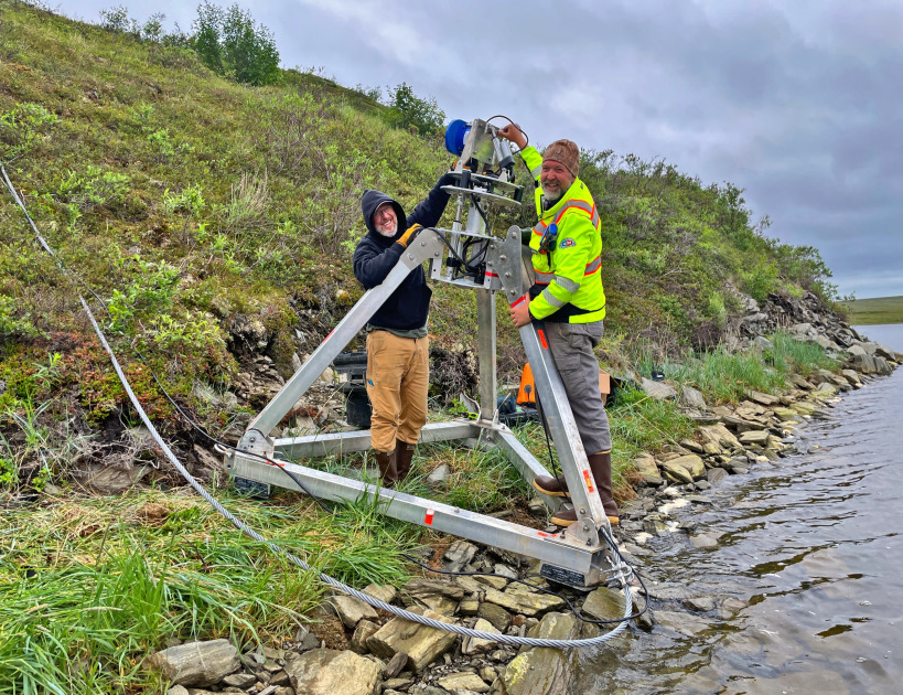
Stream gauge installation, maintenence and continuous flow monitoring following U.S. Geological Survey standards.


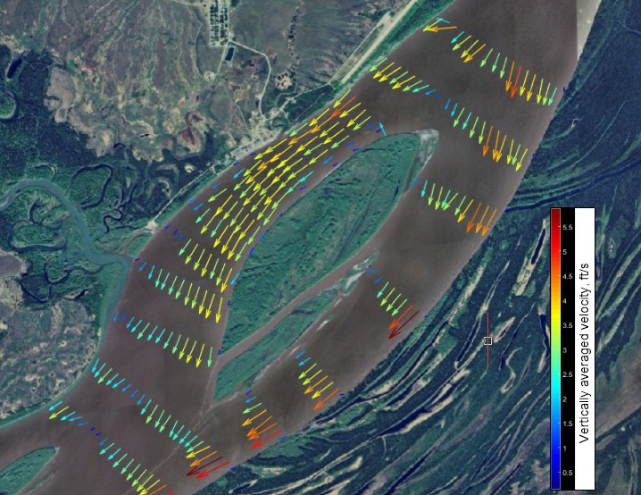
1D and 2D hydraulic modeling and sediment transport analyses.
HEC-RAS & SRH-2D software.

Determination of design flows, flood control alternatives and hazard management for proposed projects.
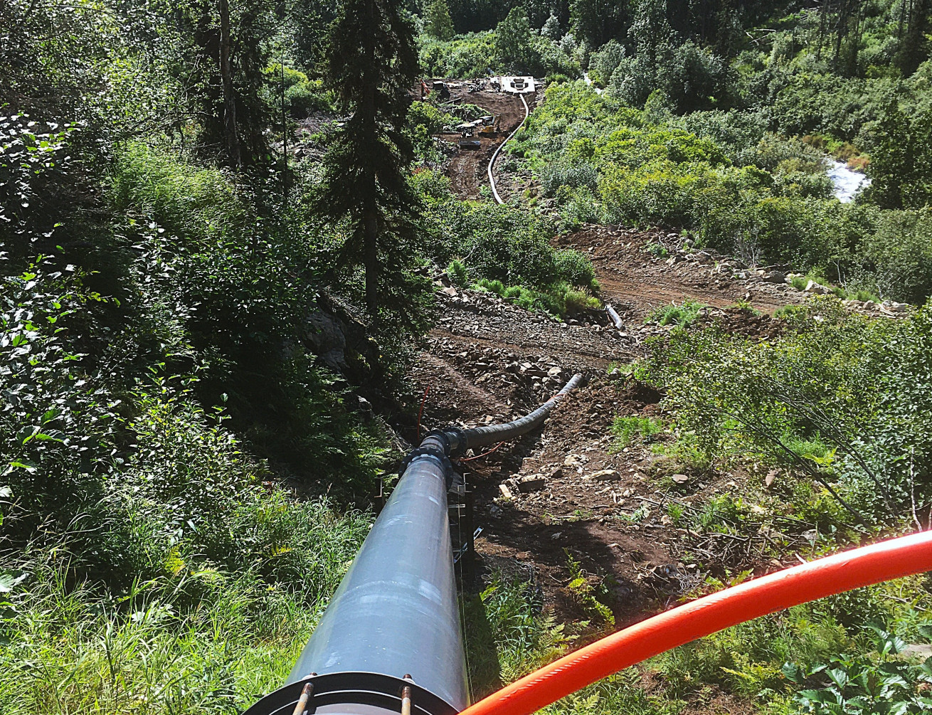
Hydrotechnical studies to assist in the design of hydroelectric facilities and Riverine Projects.
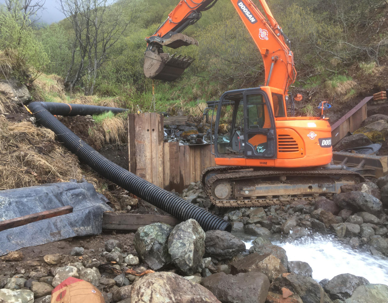
Erosion protection, fish passage, run-of-river hydroelectric projects and permitting.
